The following images are published here courtesy of the Essex Record Office. The images must only be used for the purpose of research and must not be used for financial gain.
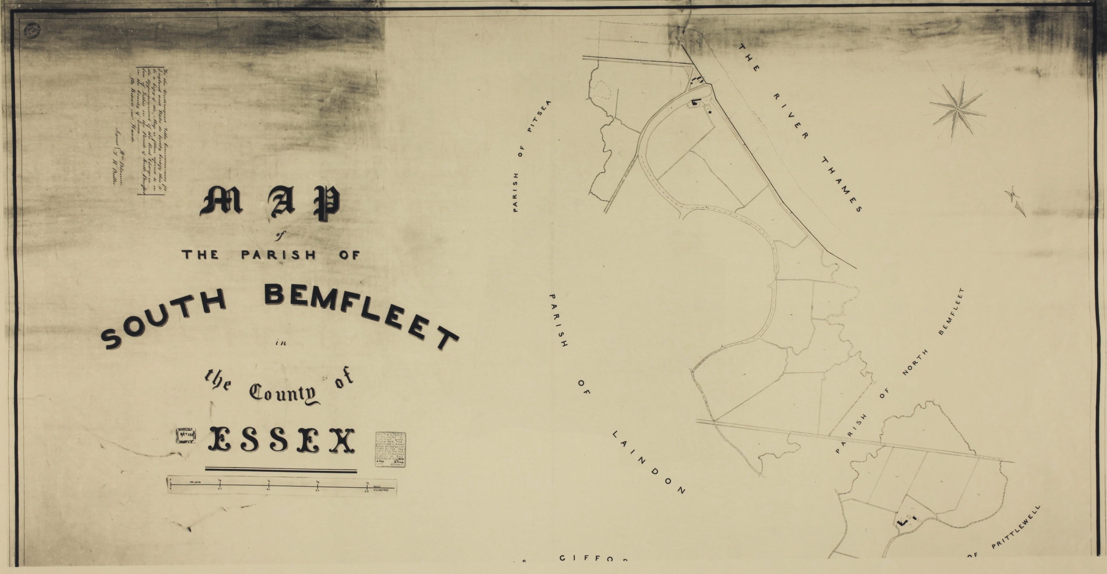
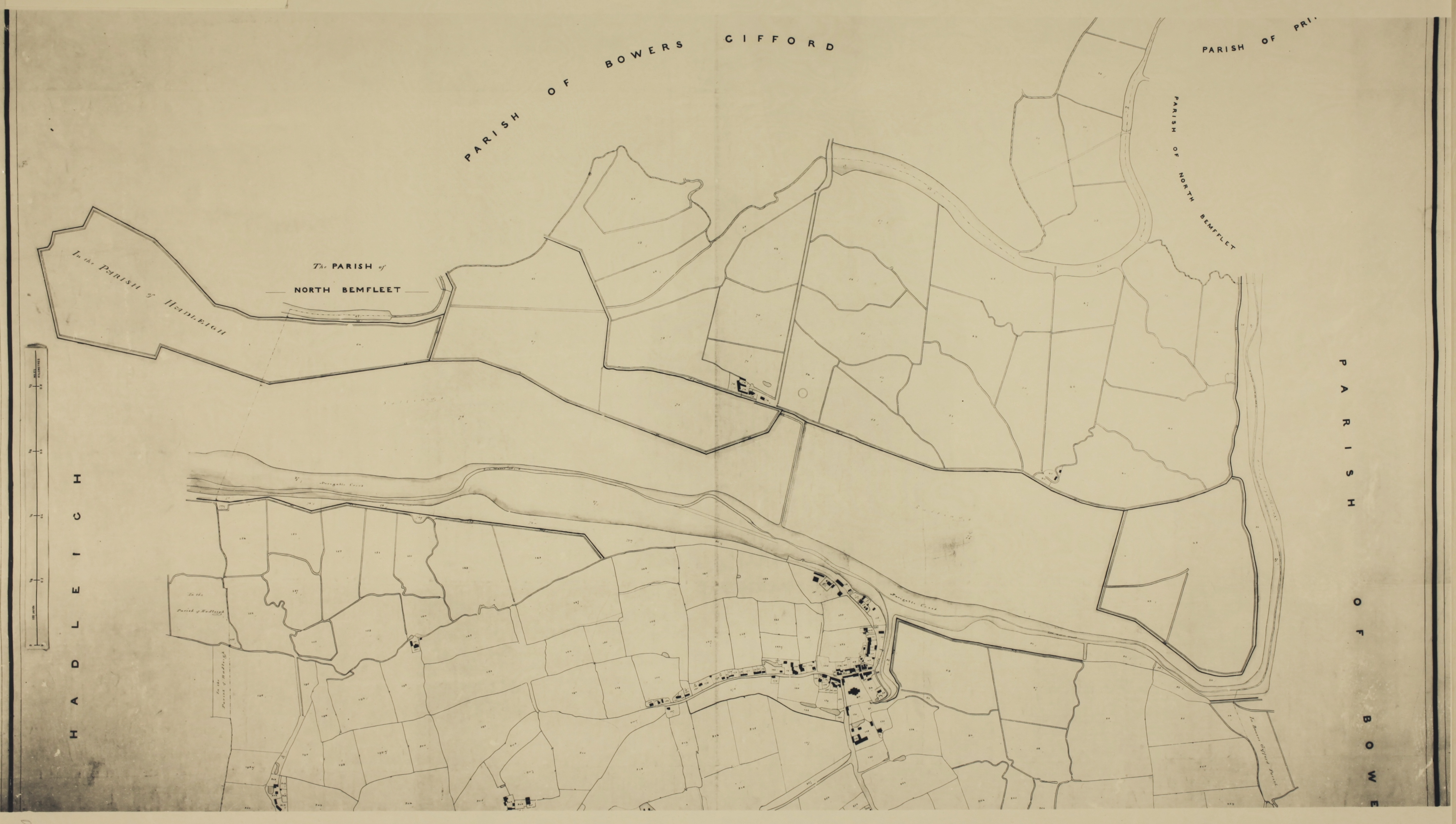
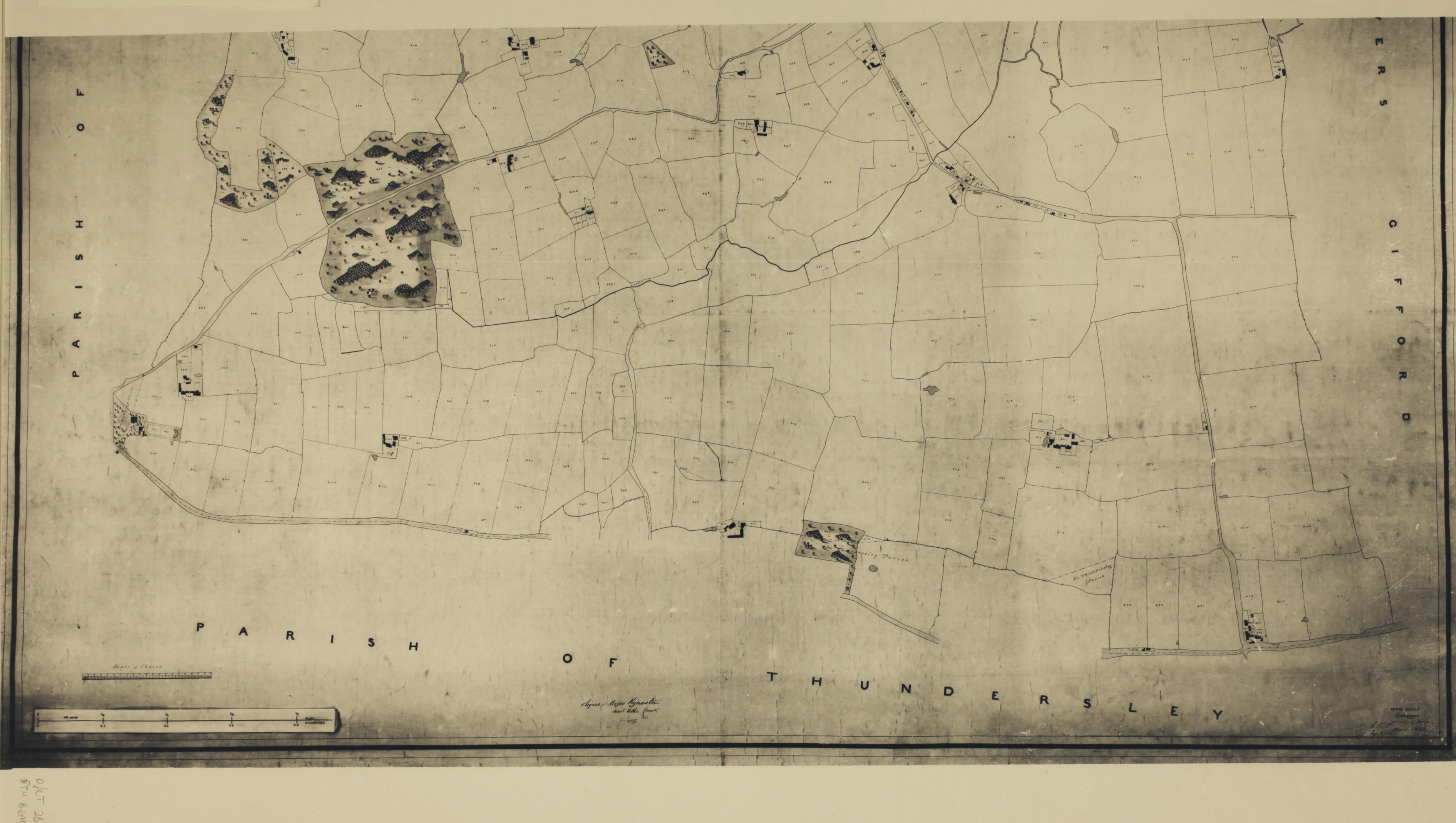
The first and most important thing to note is that the map is upside down by today’s convention. Here, the top of the map faces south and the top shows Canvey Island at a time when some of the land still belonged to the various mainland parishes.
To view the maps in more detail please click on appropriate link below.


No Comments
Add a comment about this page