Benfleet & District Historical Society 1960
Benfleet Tithe Map 1840

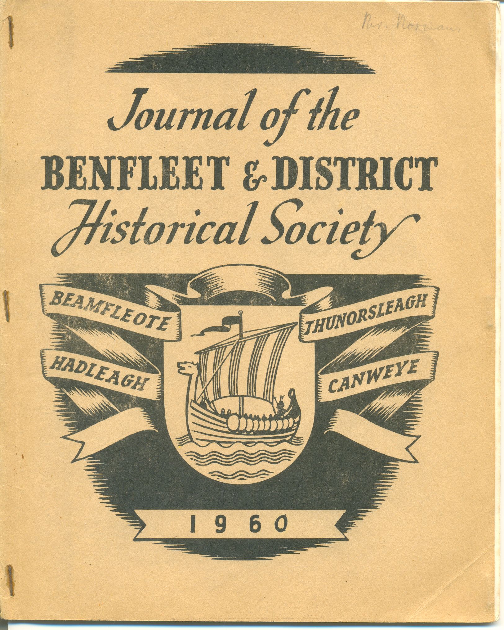
Front Page of Journal
The part of Benfleet Tithe Map reproduced in the Journal in 1960 shows only the Village, which, in 1840 was composed mainly of houses lining the Wharves, the High Street from the Hoy to the Anchor and East Street, later known as the Endway and now known as Essex Way.


No Comments
Add a comment about this page